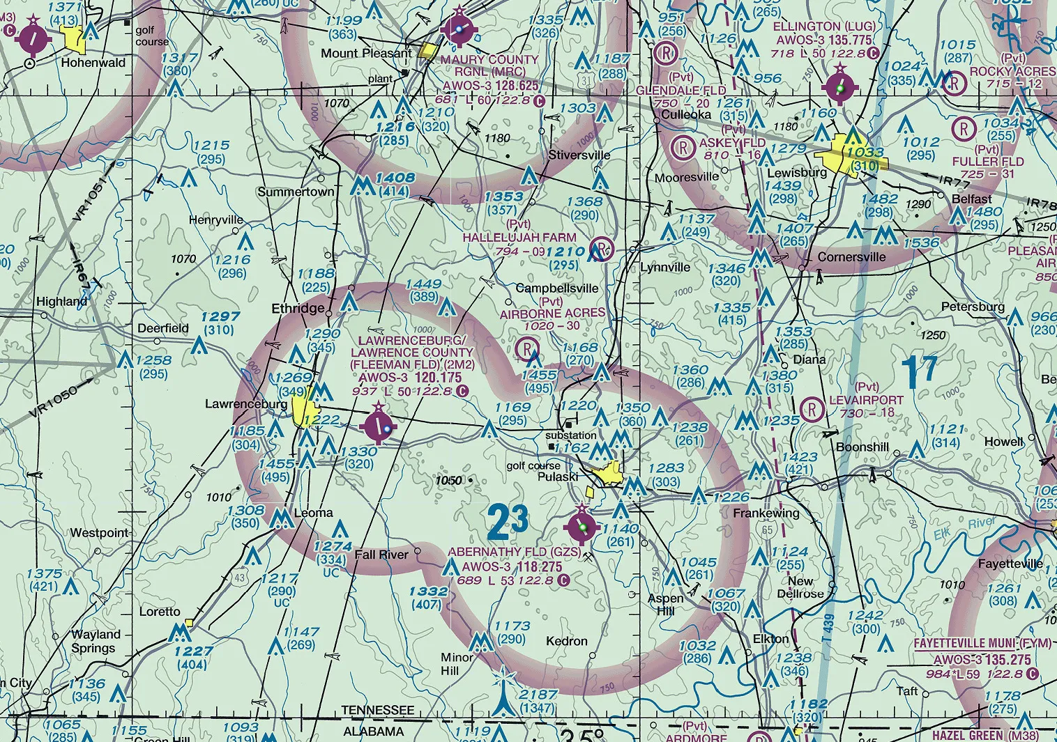
Please text or call 931-292-2523 to request landing permission at least 24 hours prior to your arrival. The runway isn't as smooth as you might prefer and is NOT recommended for aircraft with tires smaller than 15" or gross weights above 3000 lbs.
A private grass airstrip in the beautiful hills of Giles County Tennessee.
Please text or call 931-292-2523 to request landing permission at least 24 hours prior to your arrival. The runway isn't as smooth as you might prefer and is NOT recommended for aircraft with tires smaller than 15" or gross weights above 3000 lbs.
| Runway 17 | Runway 35 (Preferred) | |
|---|---|---|
| Elevation | 1020.0 ft. | 988.0 ft. |
| Slope | 1.3° DOWN | 1.3° UP |
| Traffic Pattern | Right | Left |
| Obstructions | 30 ft. power line, 400 ft. from runway | 45 ft. trees, 270 ft. from runway CAUTION: 495' Tower 0.6 miles SSE of Runway |
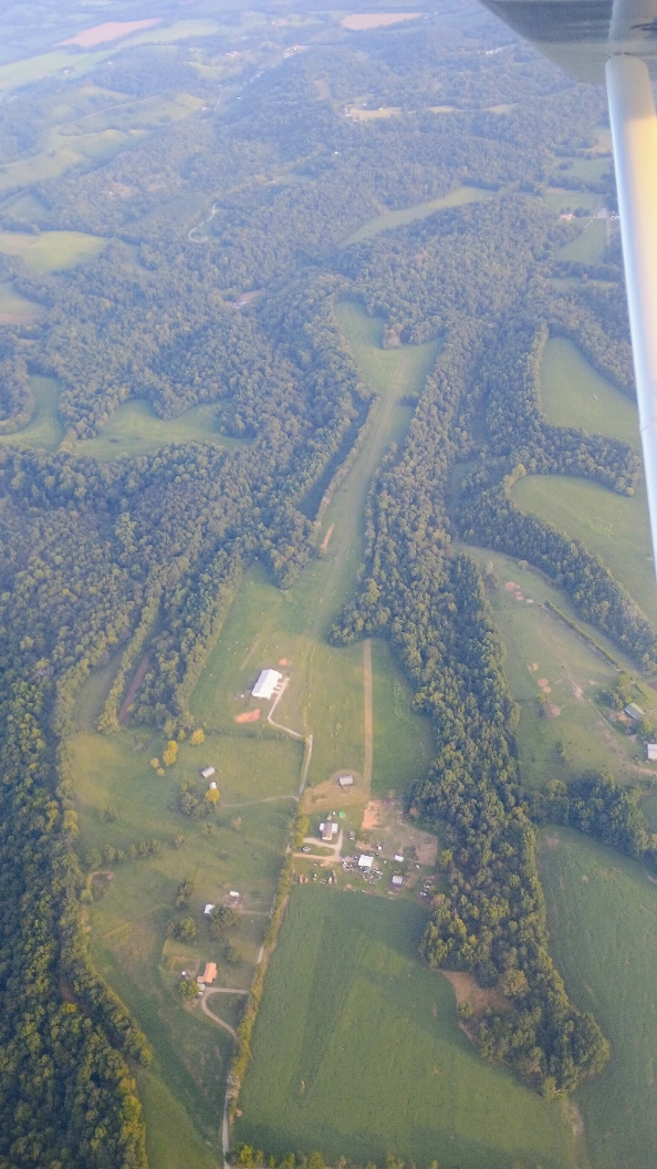
Location and runway data from FAA records effective 01 October 2026. Always verify against current official sources before flight.
Details coming soon.